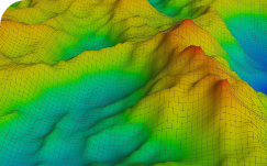
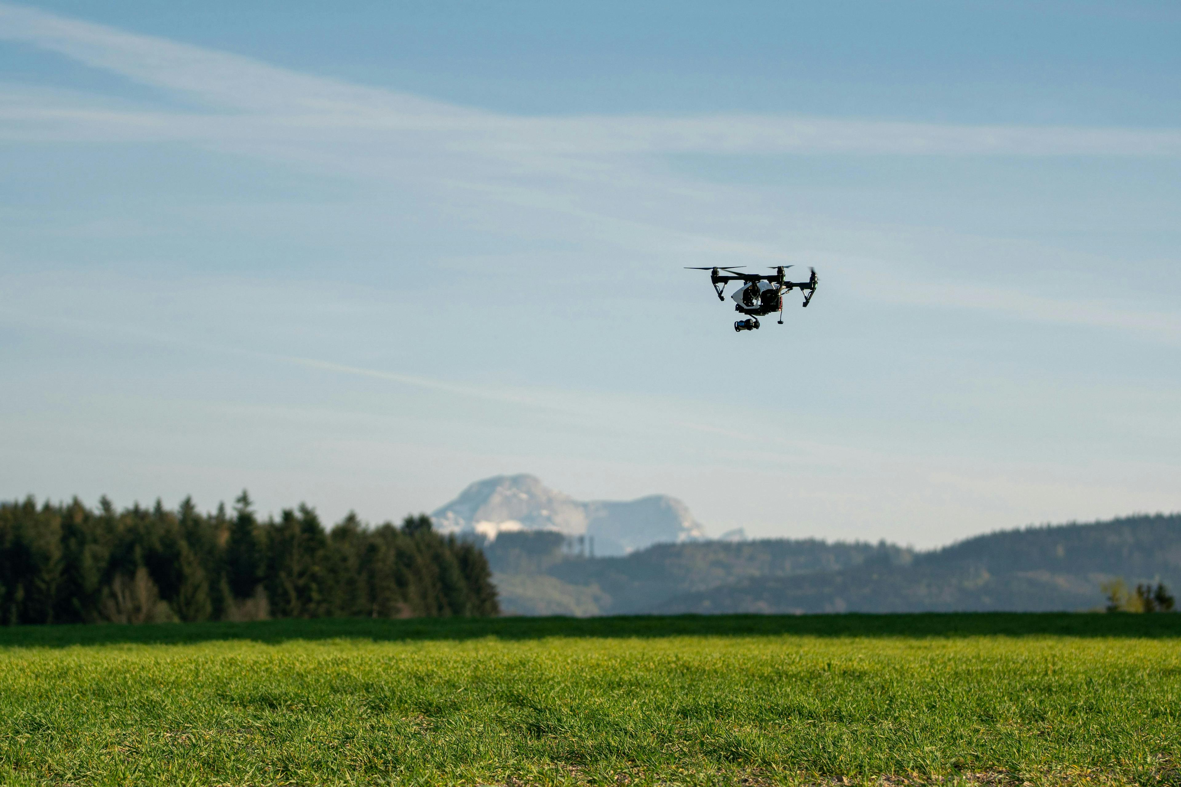
Drone

India’s Leading
Land and Drone Survey Company

Fly with us to Measure Map and Asses Earth in all compass directions

Survey
Survey
Mapping
Mapping
Inspection
Inspection
Data Processing
Data Processing
Photography
Photography
GIS
GIS
Who we are

Who we Are?


We, at Compass Survey, offering end to end solutions for land as well as aerial surveying, mapping, data analysis and inspection to numerous industries, to provide innovative, accurate, reliable, time and cost efficient solutions. We are providing our services by leveraging the advance surveying equipments (like TS/DGPS, AI powered drones), photometric surveying, drone data processing, GIS mapping with a team of well experienced and qualified personnel. Our outputs help our clients to make better evidence-based decisions. Compass survey is headquartered in Jaipur and has operations across the India. As one of the most promising drone start-up in the India, we are proud to provide unparallel solutions and services for sectors like construction, infrastructure, agriculture, mining, energy and many more.

Our Services


“A Full Range of Innovative Survey and Geomatics Solutions”

We uses the latest technology to deliver survey, mapping and remote sensing services. We work hard to understand the needs of our clients and deliver exceptional service to support the successful delivery of their projects.

Drone Survey and Mapping
TS/DGPS survey and mapping
Aerial Inspection and Analysis
Drone Data Processing
Aerial Cinematography
GIS Mapping
GIS Mapping

Why choose Compass Survey?


We are achieving more with our Assets start with obtaining accurate up to date data and information and getting fantastic result by post processing it with innovative tools. Our end-to-end solutions provides faster and more accurate Deliverable to clients, hence promoting more agile decision making.

who we are

99% Accuracy

We use AI powered technology to be precise in data collection and analysis, by minimizing bias and errors.

who we are

Modern Technology

We are leveraging the latest trends of aerial surveying, remote sensing and GIS for efficient and quick results.

who we are

Faster surveys

Our high-end drone surveying over traditional one allows us to reduce land survey timelines from months to days.

who we are

Country wide operations

We have outstretched our coverage for our land surveying solutions across the country.

who we are

Wide array of sectors

We are aiming to serve a wide range of sectors like - construction, transportation, mining and many more to keep their assets up to date.

Compass Survey's Network


Be a part of a prominent drone pilot and TS/DGPS oprator network from anywhere and everywhere in India. We're honored to get together with you! To build a community where we are there for eachother.

Compass Survey Network